
Natural Resources Management
With a deep understanding of Louisiana’s Gulf Coast ecosystems,
Chenier’s scientists deliver comprehensive natural resource management

Our Services

-
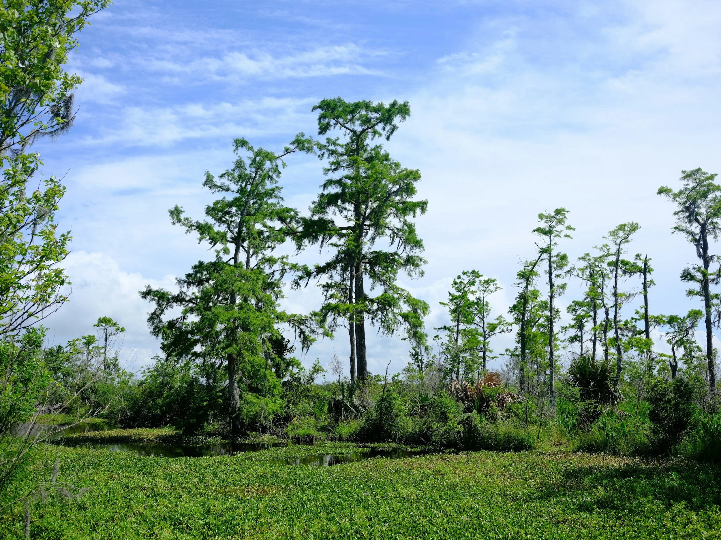
A wetland delineation includes field identification and flagging of wetlands and waters, evaluation of vegetation, soils, and hydrology using USACE methodology, and preparation of maps and reports to support regulatory review and permitting. Wetland delineations are required by federal and state agencies to support Clean Water Act compliance, land development, and infrastructure projects.
Applicable to: Real Estate Developers, Commercial and Industrial Development, Oil and Gas, Transportation Agencies, Utilities, Municipalities
-
Wetland mitigation planning and implementation includes development of mitigation strategies to offset wetland impacts, preparation of mitigation plans and permit documentation, coordination with regulatory agencies, and implementation and monitoring of mitigation measures. Wetland mitigation planning and implementation are required by federal and state agencies to comply with Clean Water Act permitting requirements for projects impacting wetlands and waters.
Applicable to: Real Estate Developers, Commercial and Industrial Development, Transportation Agencies, Utilities, Oil and Gas, Municipalities
-
A biological assessment includes evaluation of existing biological resources, identification of threatened and endangered species and critical habitats, assessment of potential project impacts, and preparation of technical documentation to support agency consultation. Biological assessments are required by federal agencies to comply with the Endangered Species Act and support permitting and environmental review for proposed projects.
Applicable to: Federal and State Agencies, Transportation Agencies, Energy Developers, Utilities, Oil and Gas, Municipalities
-
Geographic Information Systems (GIS) services include collection, management, analysis, and visualization of spatial data to support environmental assessments, permitting, impact analysis, and project planning. GIS analyses are required to integrate regulatory, environmental, and infrastructure data for informed decision-making and effective communication of results.
Applicable to: Environmental Consulting Firms, Engineering Firms, Oil and Gas Companies, Government Agencies, Infrastructure and Commercial Developers
-
A migratory bird nesting survey includes desktop review of protected species, field surveys to identify active nests and suitable nesting habitat, and documentation of findings to assess potential project impacts. Migratory bird nesting surveys are required by federal agencies to comply with the Migratory Bird Treaty Act and to support construction scheduling, permitting, and environmental compliance.
Applicable to: Energy Developers, Utilities, Oil and Gas, Transportation Agencies, Real Estate Developers, Municipalities
-
A Natural Resources Damage Assessment (NRDA) includes compilation and analysis of spatial data, mapping of impacted natural resources, and creation of GIS-based visualizations to support damage assessment and restoration planning. A NRDA is required by federal and state agencies to support environmental damage evaluation, restoration planning, and regulatory reporting.
Applicable to: Federal and State Agencies, Oil and Gas, Environmental Consultants, Coastal Resource Managers, Municipalities
-
An oyster survey includes field assessment of oyster beds, evaluation of habitat conditions, mapping of oyster distribution, and documentation of findings to support environmental review and resource management. Oyster surveys are required by federal and state agencies to support coastal permitting, habitat restoration, and shellfish management.
Applicable to: Coastal Resource Managers, Environmental Agencies, Aquaculture Developers, Oil and Gas, Utilities, Municipalities
-
A threatened and endangered species survey includes desktop review of agency databases, field surveys to identify listed species and critical habitat, and evaluation of potential project impacts with documentation to support regulatory coordination. Threatened and endangered species surveys are required by federal and state agencies to comply with the Endangered Species Act and support permitting and project approval.
Applicable to: Energy Developers, Transportation Agencies, Oil and Gas, Utilities, Real Estate Developers, Municipalities