Protecting what matters - balancing development and conservation across Louisiana
Providing comprehensive environmental services for sustainable development

Where environmental integrity meets economic opportunity
Chenier Environmental Consulting, LLC (Chenier) is a Louisiana-based environmental consulting firm dedicated to preserving natural resources while supporting sustainable development. Since 2014, our team has combined scientific expertise, regulatory knowledge, and a deep respect for the environment to deliver high-impact solutions across the Gulf Coast and beyond.
Located in Baton Rouge, LA, Chenier's primary service area includes the Gulf Coast Region from Houston, TX to Pensacola, FL.
Centrally Located on the Gulf Coast
Our Services

Environmental
Due Diligence

Permitting

Natural Resources
Management

NEPA Assessments
Recent Projects
-
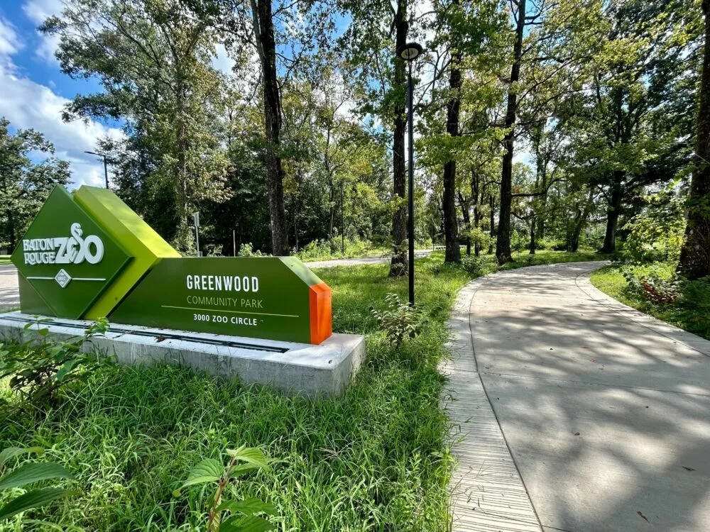
![An image of a green sign on a concrete slab designating the location of BREC ZOO Greenwood Park Entrance]()
BREC Greenwood Park Entrance : Wetland Delineation
On behalf of the BREC, Chenier Environmental Consulting, LLC (Chenier) and CSRS inc. (Project Team) conducted a Wetland Delineation of a 130-acre tract in Baker, East Baton Rouge Parish, Louisiana.
The purpose was to collect field data, habitat descriptions, and other pertinent information on the three diagnostic characteristics of wetlands and non-wetland Waters of the United States (WOUS) within the survey boundary.
Wetlands and watercourses were delineated in accordance with the USACE Wetland Delineation Manual (USACE Environmental Laboratory 1987) and Interim Regional Supplement of the Corps of Engineers Wetlands Delineation Manual: Atlantic and Gulf Coast Region (USACE 2010).
The features were described based on field assessments and reviews of readily available data, including NWI maps, NRCS soil surveys, 7.5-minute USGS topographic quadrangles maps, and USGS NHD data.
Services Provided:
Coordinated access with landownersConducted field reconnaissance
Obtained and assimilated historical data
Prepared Wetland Delineation Report
-
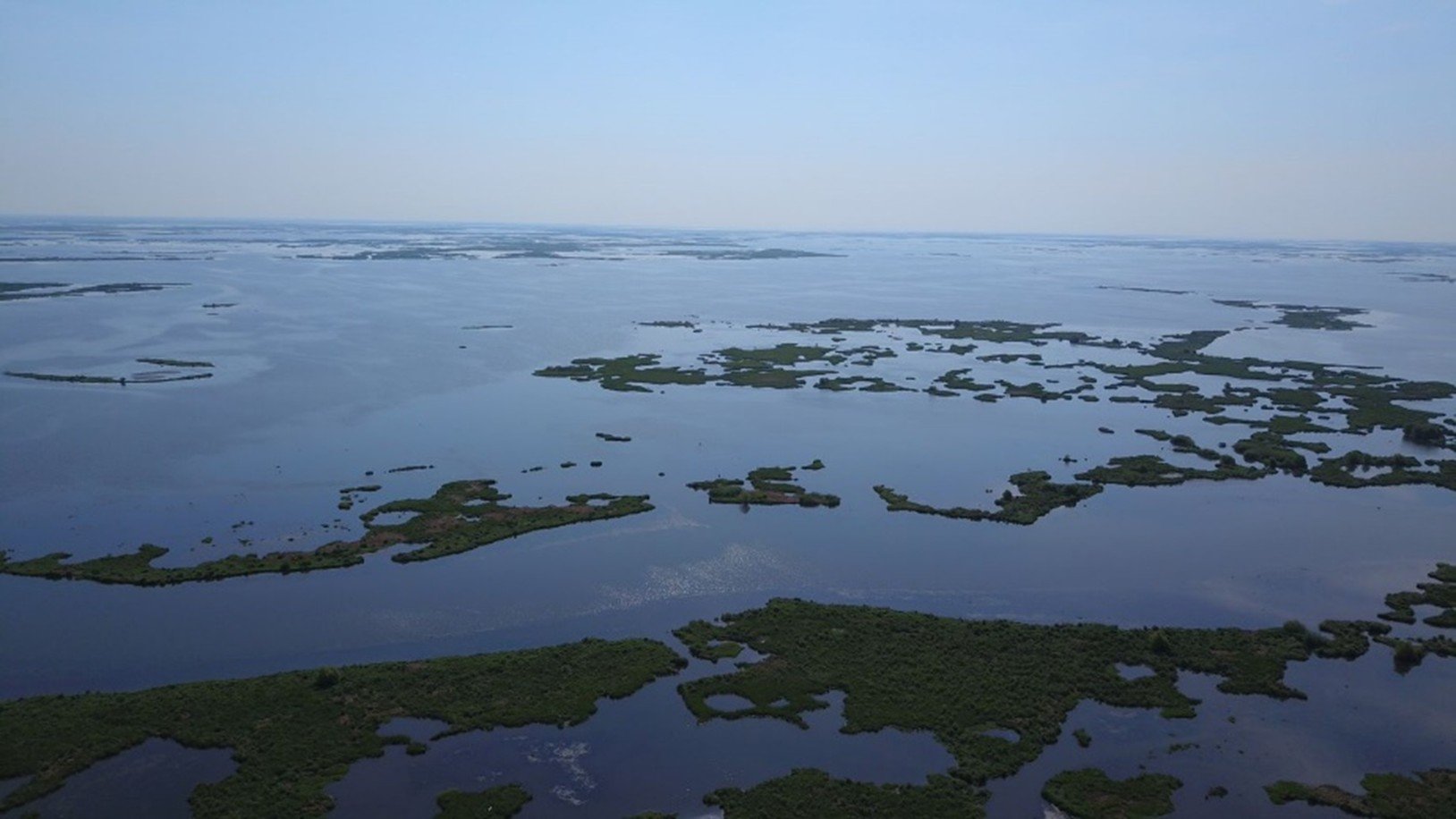
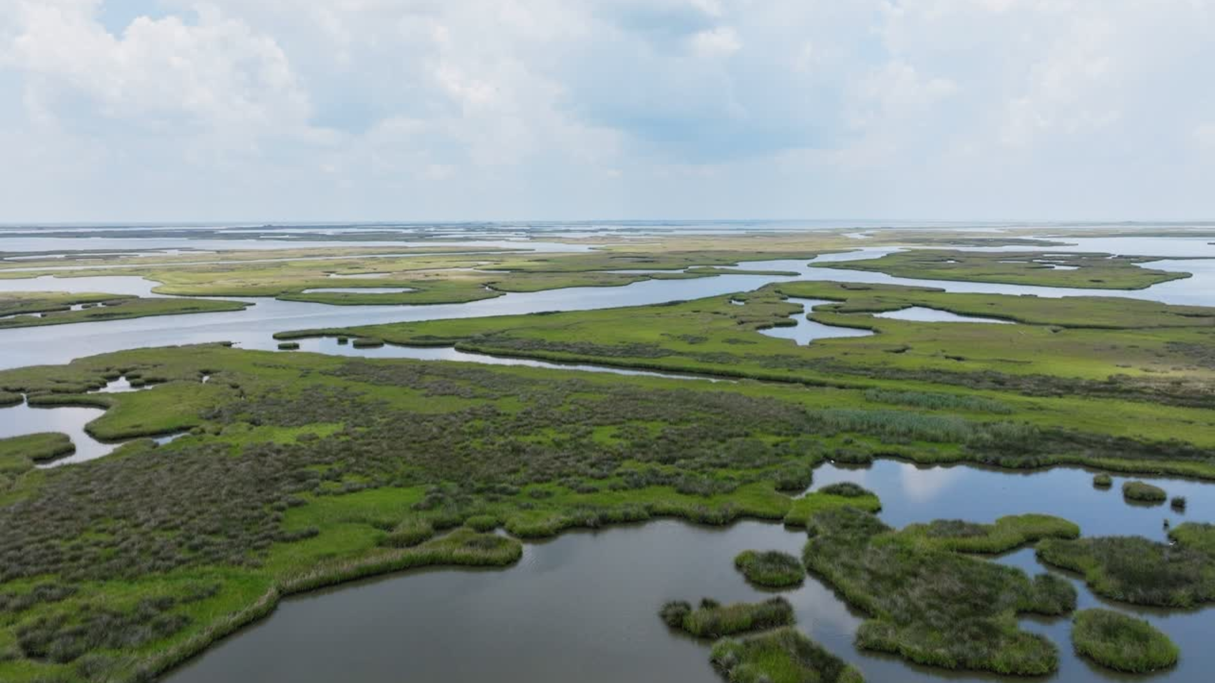
![An aerial image of water and green plant life.]()
Mid-Barataria Sediment Diversion: Environmental Impact Statement
Chenier assisted with the Mid-Barataria Sediment Diversion Third-Party Environmental Impact Statement – BA-0153. As the Resources Lead (Wetlands and Waters of the U.S.), Chenier was responsible for data gathering and compilation, and preparation of Analysis of Affected Environments, and Environmental Consequences sections of the report. Chenier participated on the Modelling Working Group (MWG) and Habitat Evaluation Team (HET).
The MWG assessed methods used to calibrate and validate Delft3D Model as well as parameters used in the wetland vegetation models. The MWG also reviewed preliminary model results and determined output format for incorporation into the EIS.
The HET provided technical input on the methods for predicting benefits of the proposed alternatives including Wetland Value Assessment (WVA) assumptions (project life, target years, HH modeling, bathymetry, SLR) and provides technical comments to the Delft modeling team.
Services Provided:
Preparation of EISResources Lead – Wetland Resources and Waters of the U.S.
Data gathering and compilation
Gap analysis
Analysis of affected environments
Environmental consequences
Modeling Working Group
Habitat Evaluation Team
-
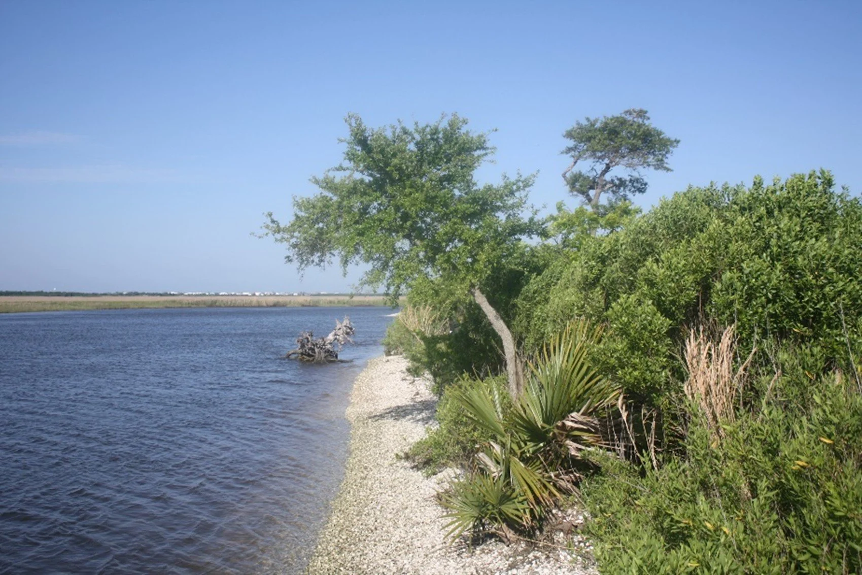
![An image of a lake where the water meets the sand shore covered with green plants.]()
Mid-Breton Sediment Diversion: Environmental Impact Statement
Chenier was a lead author and project manager for the Mid-Breton Sediment Diversion (BS-30) Third-Party Environmental Impact Statement project. Chenier served as the Natural Resources Technical Lead and was responsible for preparation of the Wetland Resources and Waters of the U.S., Terrestrial Wildlife and Habitat, Aquatic Resources, Water Quality, Essential Fish Habitat, and Threatened and Endangered Species sections of the report.
In this role, Chenier provided project management support and participated in interagency meetings and conference calls with federal, state, and local agencies to support NEPA coordination and compliance.
Chenier conducted comprehensive reviews of CPRA-provided technical documents including existing conditions, alternatives analysis, modeling, habitat suitability indices, and environmental consequences.
Chenier’s responsibilities also included ensuring consistency across technical disciplines, identifying data gaps and potential resource impacts, supporting agency comment responses, and integrating interdisciplinary feedback into the EIS to facilitate informed decision making.
Services Provided:
Natural Resources LeadData gathering and compilation
Gap analysis
Technical reviews and writing
Analysis of affected environments
Environmental consequences
Modeling Working Group
Habitat Evaluation Team
-
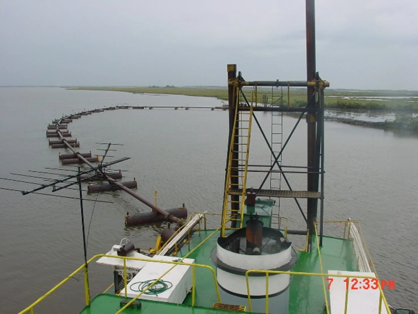
![An image of a metal pipeline and watercraft with equipment on Bayou D'Inde]()
Bayou D'Inde - Lower Canal Sediment Remediation Project
Chenier provided regulatory support to obtain USACE authorization to implement the Bayou D’Inde/Lower Canal Sediment Remediation Project.
Specific tasks included: preparing USACE Section 404 Permit application package, facilitating pre-application meetings and coordination with State and Federal regulatory agencies, preparing responses to agency and public comments, and developing a compensatory mitigation plan. The constructed project remediated approximately 180 acres of impacted soils in the Calcasieu Estuary.
Services Provided:
Prepared USACE Section 404/10 Permit Application PackagePrepared LDNR Coastal Use Permit Application Package
Prepared supporting documents to obtain state and federal permits
Compensatory Mitigation Planning
-
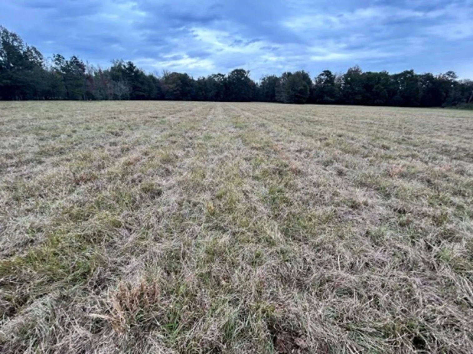
![An image of a grassy field with a tree line in the distance and a blue cloudy sky.]()
City of Central: Wetland Delineation
On behalf of the City of Central, Chenier Environmental Consulting, LLC (Chenier) and CSRS inc. (Project Team) conducted a Wetland Delineation of a 500-acre tract in Central, East Baton Rouge Parish, Louisiana.
The purpose was to collect field data, habitat descriptions, and other pertinent information on the three diagnostic characteristics of wetlands and non-wetland Waters of the United States (WOUS) within the survey boundary. Wetlands and watercourses were delineated in accordance with the USACE Wetland Delineation Manual (USACE Environmental Laboratory 1987) and Interim Regional Supplement of the Corps of Engineers Wetlands Delineation Manual: Atlantic and Gulf Coast Region (USACE 2010). The features were described based on field assessments and reviews of readily available data, including NWI maps, NRCS soil surveys, 7.5-minute USGS topographic quadrangles maps, and USGS NHD data.
Services Provided:
Coordinated access with landownersConducted field reconnaissance
Obtained and assimilated historical data
Prepared Wetland Delineation Report
-
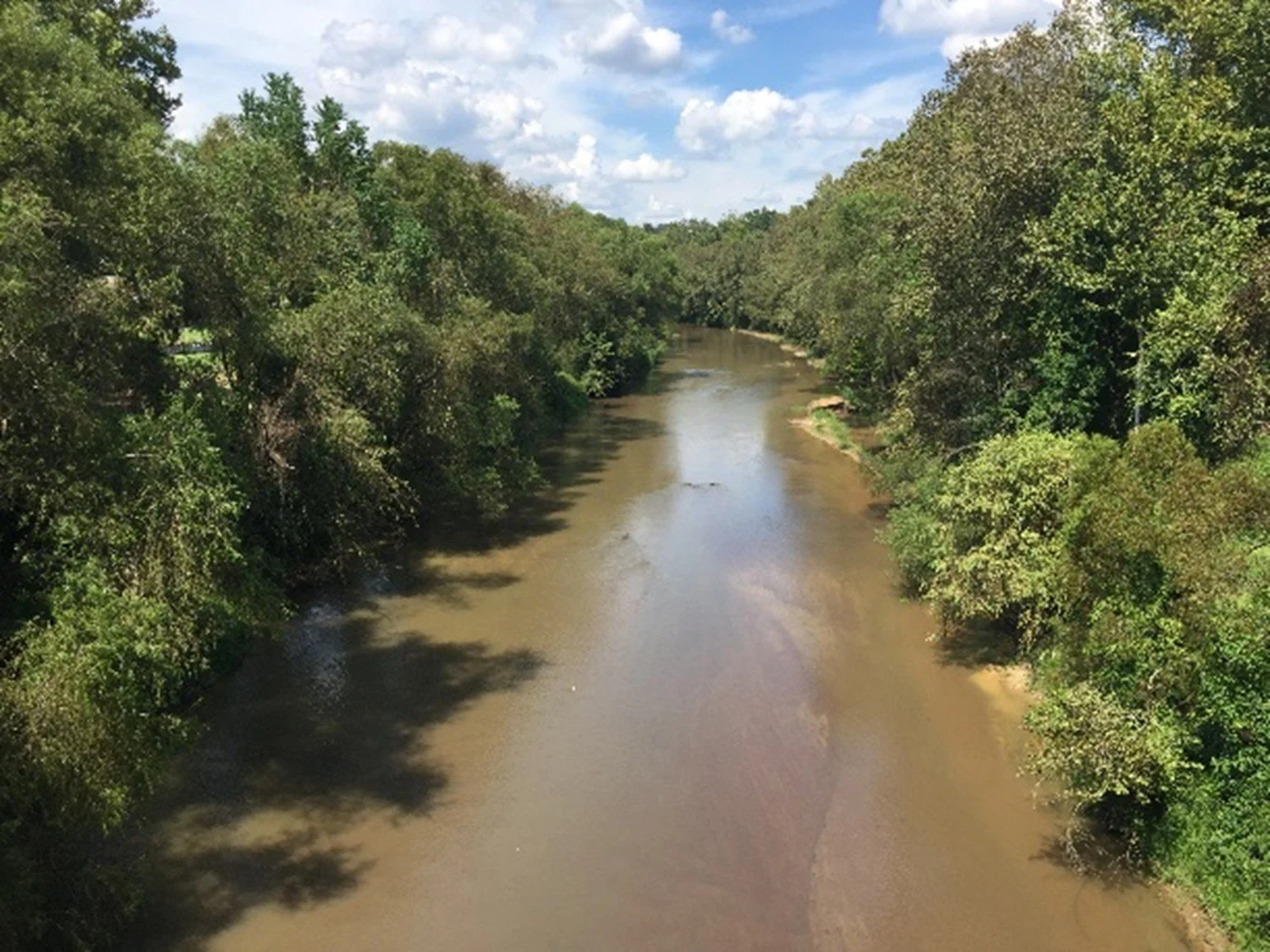
![An image of the Comite River that depicts a brown colored waterway lined with green trees on both sides underneath a cloudy blue sky.]()
Comite River Water Line Crossing
On behalf of the Parish Water Company, Chenier prepared and submitted a USACE Nationwide Permit Pre-Construction Notification (PCN) package for the installation of a drinking water utility line beneath the Comite River near Baker, Louisiana.
Chenier also prepared and submitted a Biological Assessment and Scenic Rivers Permit Application Package to the Louisiana Department of Wildlife and Fisheries. Chenier conducted a desktop review of the Office of Cultural Development (OCD) Standing Structures database and performed an Endangered Species Act (ESA) project review to assess the potential effects to federally listed threatened and endangered species (T&E) and their critical habitat (CH) using the USFWS online application.
Services Provided:
Biological AssessmentUSACE Permit Application
LDWF Scenic River Permit
Cultural Resources Desktop Review
Threatened and Endangered Species Survey
-
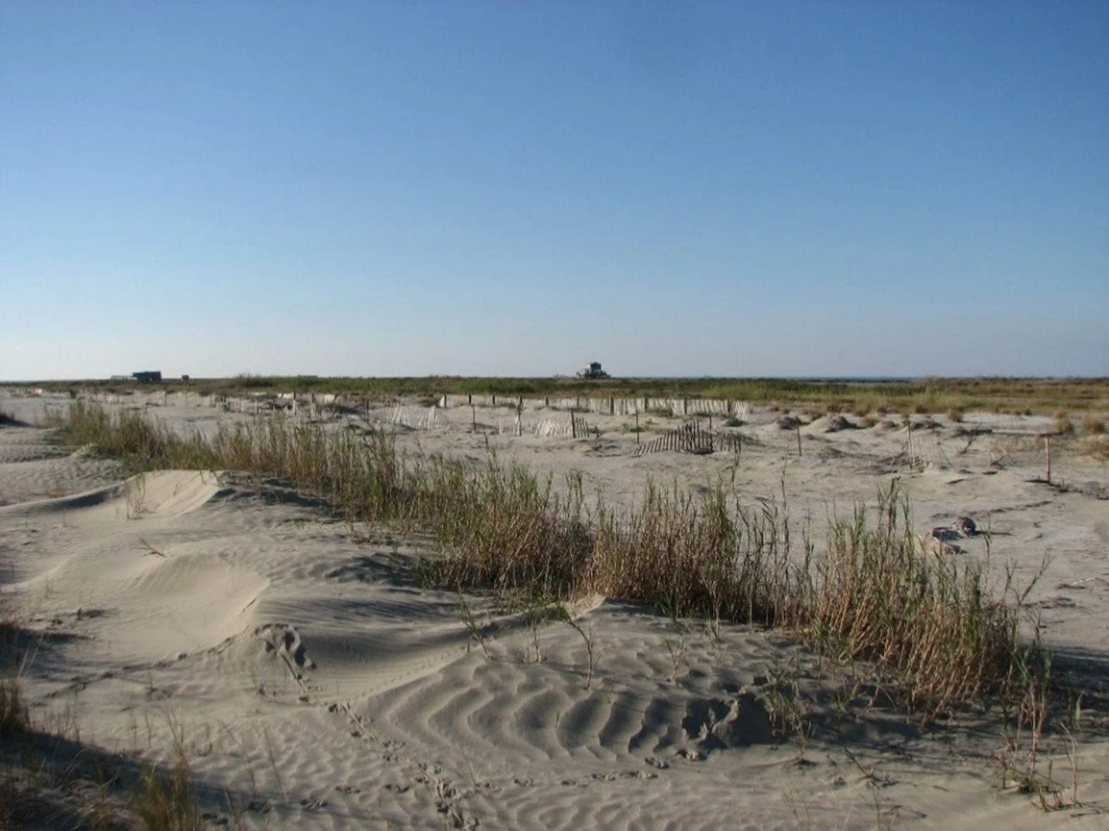
![An image of white sand and green-brown grass under a clear blue sky.]()
Ship Shoal: Reconnaissance Geophysical and Geotechnical Investigation
Chenier is conducting a reconnaissance geophysical and geotechnical investigation to better understand Ship Shoal’s sediment characteristics and to quantify the available volume of restoration quality sediment within the shoal.
By accurately delineating the shoal boundaries and estimating the shoal’s thickness based on existing and newly collected geophysical and geotechnical data, we will be able to calculate the available volume of sediment available for restoration projects.
The volume of sediment available for restoration use within Ship Shoal is limited by a dense network of oil and gas related infrastructure. The geophysical data we collect will provide an accurate idea of oil and gas platforms and pipeline locations across the shoal. This will provide a better and more current understanding of the volume of sediment within the shoal that is accessible for dredging.
This information is crucial to Louisiana’s Regional Sediment Management Program. Implementation of the Coastal Master Plan (CMP) for restoration and protection of coastal Louisiana depends heavily on a comprehensive Louisiana Sediment Management Plan (LASMP) that integrates various restoration quality/compatible sediment emplacement mechanisms. Delineation of shoal boundaries will also provide baseline data that can be used to track future shoal migration.
Services Provided:
Project managementField data collection (geophysical and geotechnical)
Data analysis and management
Technical report preparation
Literature review
-
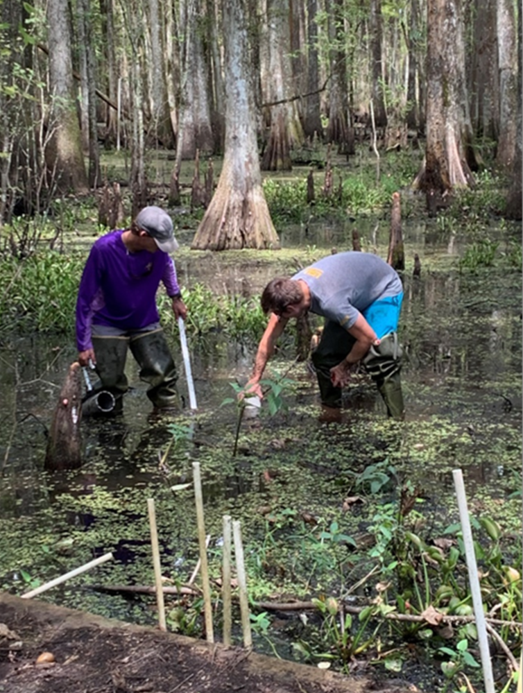
![An image of two men standing in a marsh with water, green vegetation, and trees, collecting soil samples.]()
Coastwide Reference Monitoring System (CRMS - Wetlands)
Chenier is assisting Coastal Estuary Services, LLC by assisting with field data collection and management including hydrology (salinity, specific conductance, water level, and temperature), surface elevation, accretion, soil properties, and vegetation (composition and cover).
The Coastwide Reference Monitoring System (CRMS) was designed to monitor the effectiveness of restoration actions at multiple spatial scales from individual projects to the influence of projects on the entire coastal landscape.
The CRMS design includes a suite of sites encompassing a range of ecological conditions in swamp habitats and fresh, intermediate, brackish, and salt marshes. Approximately 390 sites are monitored using standardized data collection techniques and fixed sampling schedules.
Chenier also assists with hurricane damage assessments, sample sorting and processing, data entry, QA/QC, and site construction due to damages. Chenier is currently supporting the Houma, Belle Chasse and Laplace field offices.
Services Provided:
Program managementHurricane damage assessments
Field data collection and management (hydrology, surface elevation, accretion, vegetation)
-
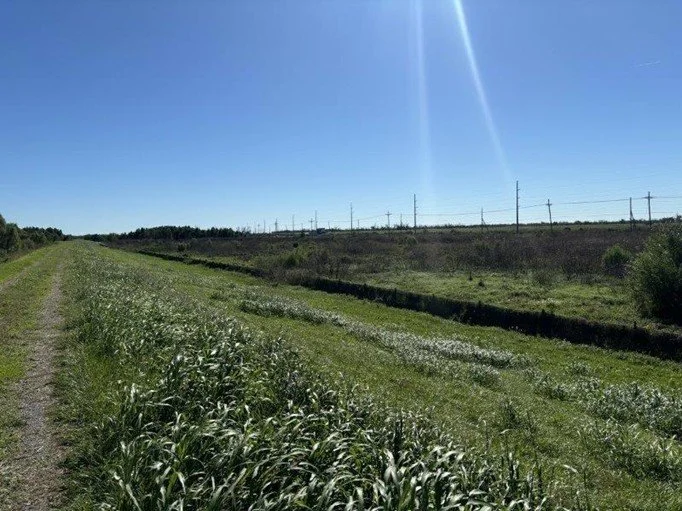
![An image of a grassy field with power lines in the distance under a clear blue sky.]()
Gulfstream LNG Project: Phase I Cultural Resource Management Survey
On behalf of Magnolia Terminal, LLC (Client), Chenier Environmental Consulting, LLC (Chenier) and Surveys Unlimited Research Associates (SURA) (Project Team) conducted a Phase I Cultural Resource Management Survey (CRM) of the 1,230-acre lot located off Highway 23 in West Point à la Hache, Plaquemines Parish, Louisiana.
The Phase I CRM survey was conducted in general conformance with the field and reporting standards established by the Louisiana Office of Cultural Development, Division of Archaeology.
The purpose of the Phase I CRM survey was to identify, locate, and define the boundaries of any archaeological resources within the project area. The survey further evaluated the presence and potential significance of cultural resources or artifacts that could be affected by the proposed development.
Results of the survey are intended to support regulatory compliance, assess potential project-related impacts to cultural resources, and, where applicable, inform avoidance, minimization, or mitigation strategies consistent with state and federal preservation guidelines.
Services Provided:
Coordinated access with landownersConducted shovel test and archeological delineations
Obtained and assimilated historical data
Prepared Phase I Cultural Resource Management Assessment
-
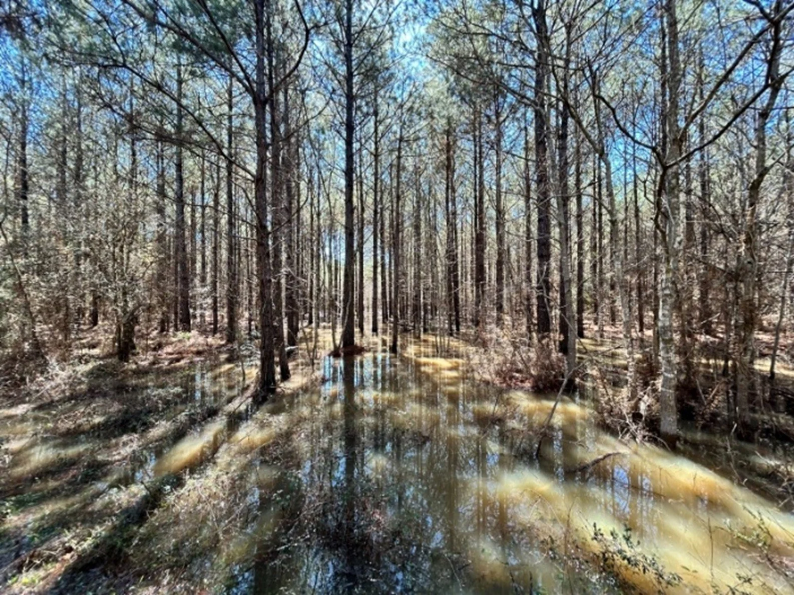
![An image of a wetland with tall trees standing in water.]()
Coushatta Tribe of Louisiana: Wetland Delineation
On behalf of the Coushatta Tribe of Louisiana, Chenier Environmental Consulting, LLC (Chenier) and CSRS inc. (Project Team) conducted two Wetland Delineations on approximately 1,750-acre and 470-acre tracts near Elton, Jefferson Davis Parish, Louisiana.
The purpose was to collect field data, habitat descriptions, and other pertinent information on the three diagnostic characteristics of wetlands and non-wetland Waters of the United States (WOUS) within the survey boundary.
Wetlands and watercourses were delineated in accordance with the USACE Wetland Delineation Manual (USACE Environmental Laboratory 1987) and Interim Regional Supplement of the Corps of Engineers Wetlands Delineation Manual: Atlantic and Gulf Coast Region (USACE 2010).
The features were described based on field assessments and reviews of readily available data, including NWI maps, NRCS soil surveys, 7.5-minute USGS topographic quadrangles maps, and USGS NHD data.
Services Provided:
Coordinated access with landownersConducted field reconnaissance
Obtained and assimilated historical data
Prepared Wetland Delineation Report